http://kiwi.atmos.colostate.edu/BUGS/geodesic/interpolate.html
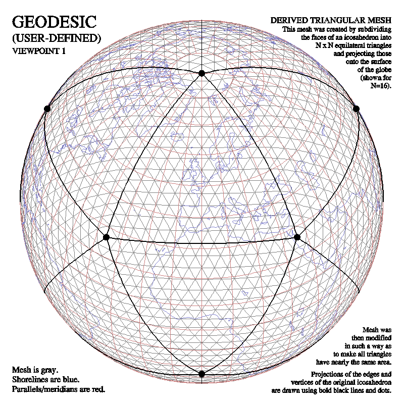
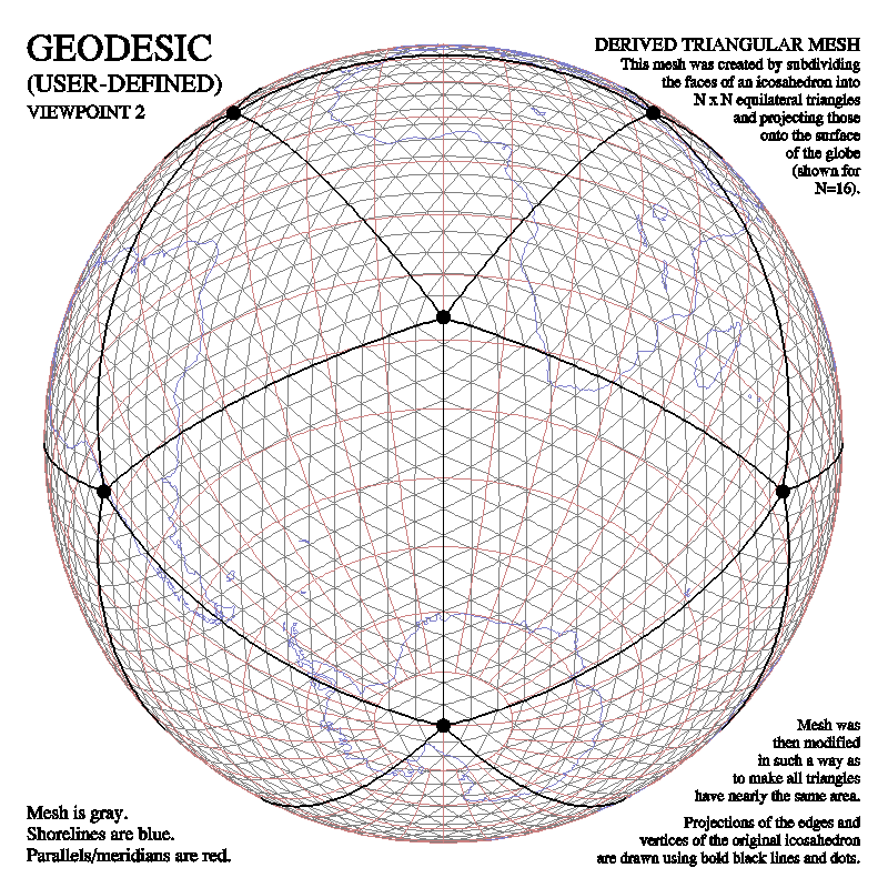
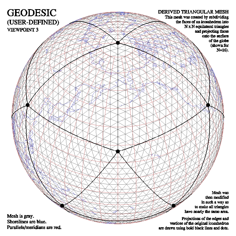
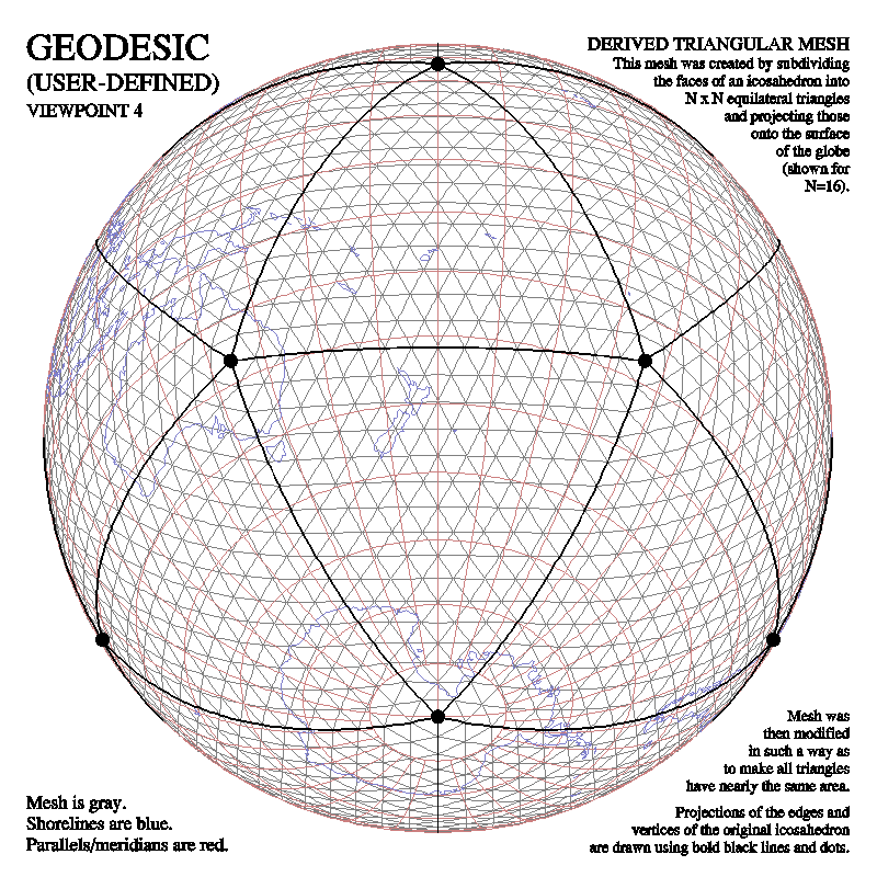
The scientists who provided the data included David Randall, Ross Heikes, and Todd Ringler. This mesh was obviously created by subdividing the triangles of an icosahedron into smaller triangles and projecting them onto the surface of the globe, but some mathematical technique was then used to alter the mesh slightly so as to make all of its triangles more nearly of the same size.
Four different types of plots are shown for each of four different views of the globe. The first type of plot shows the derived triangular mesh, as wrapped around the globe:
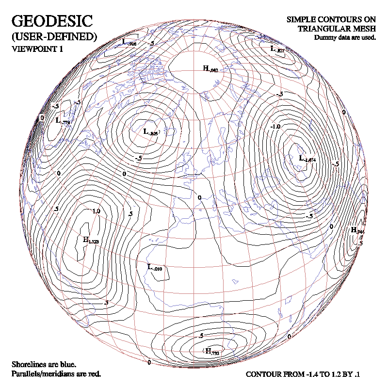
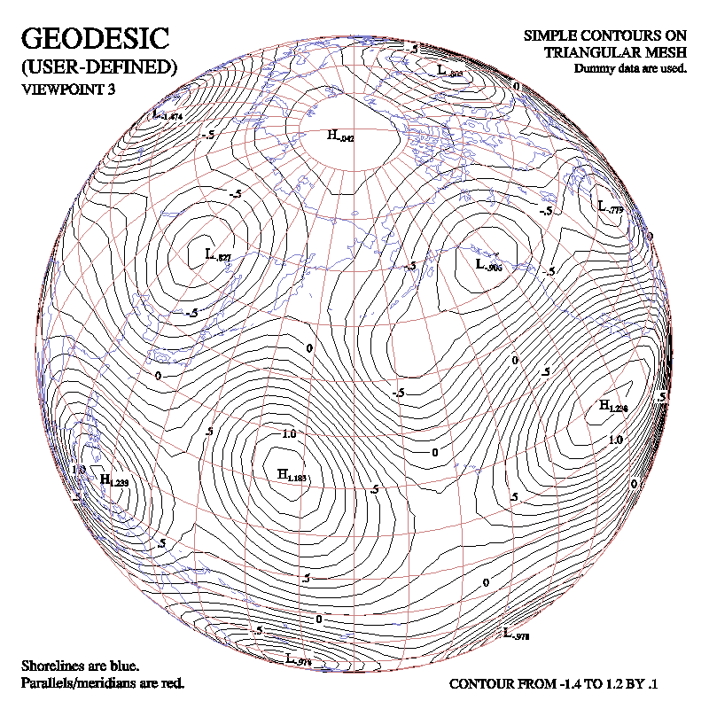
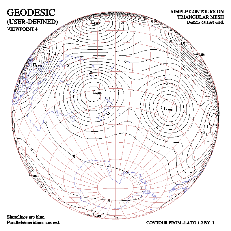
The second type of plot shows simple contours drawn by CONPACKT from the triangular mesh:

The third type of plot shows colored contour bands drawn by CONPACKT from the triangular mesh by using CTCLAM to put the contour lines in an area map:
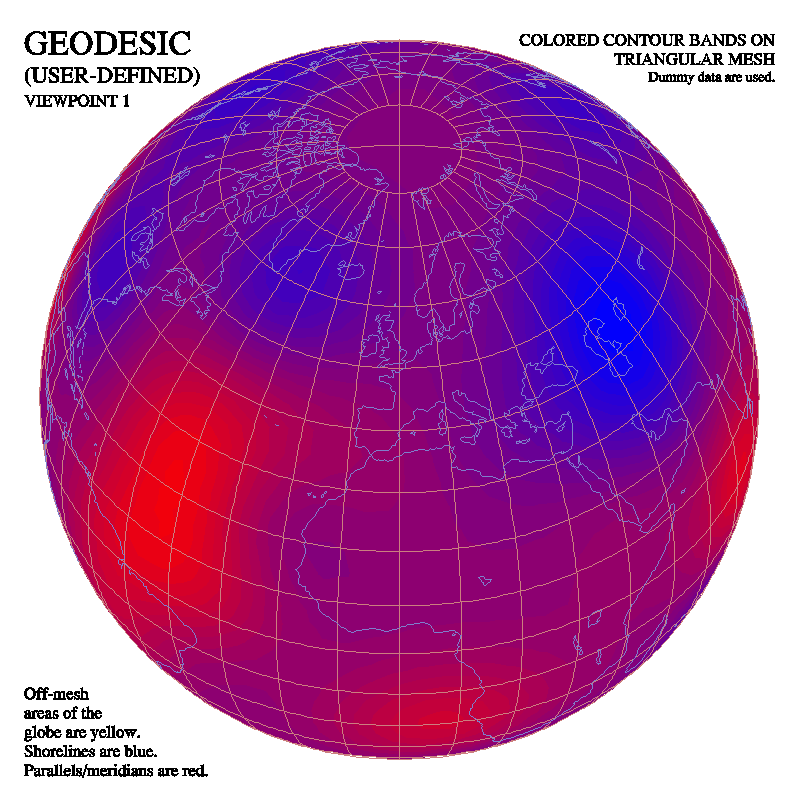

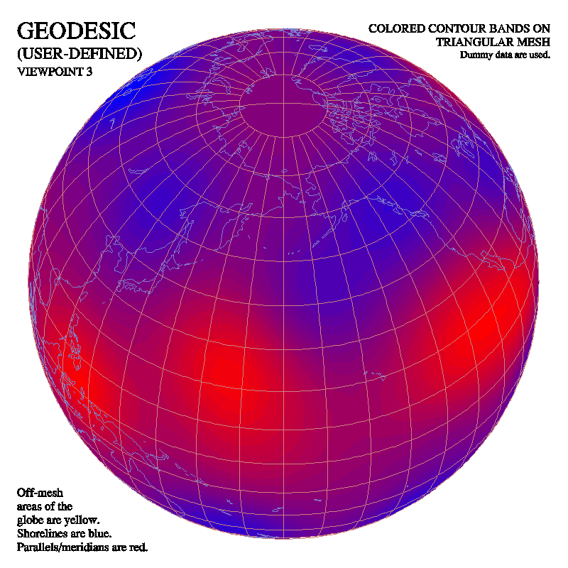

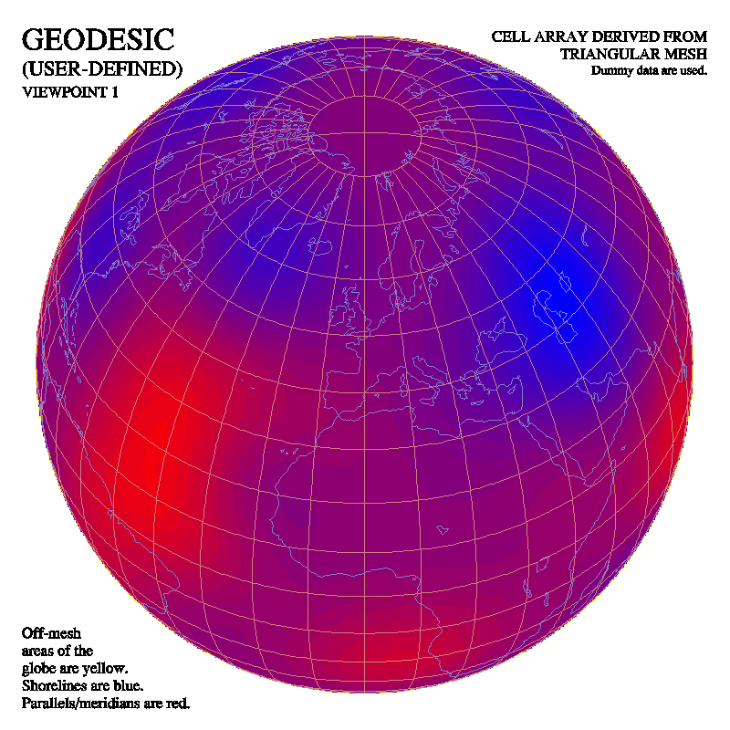
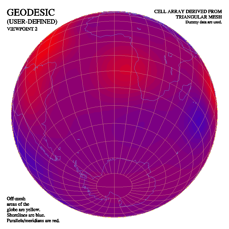
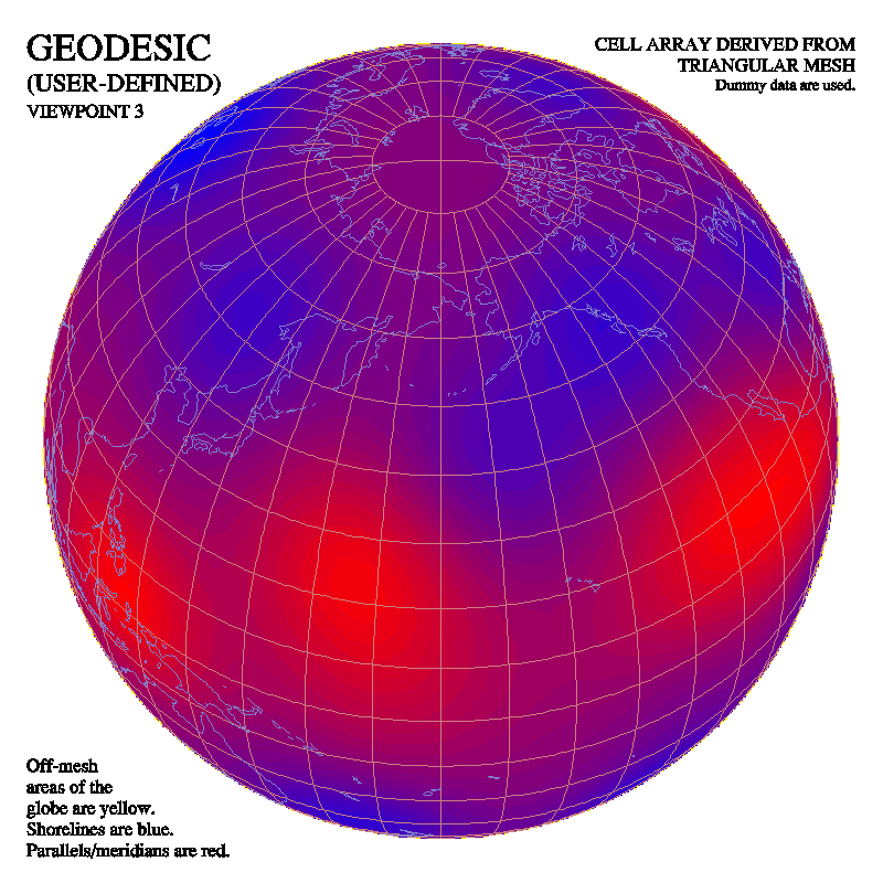
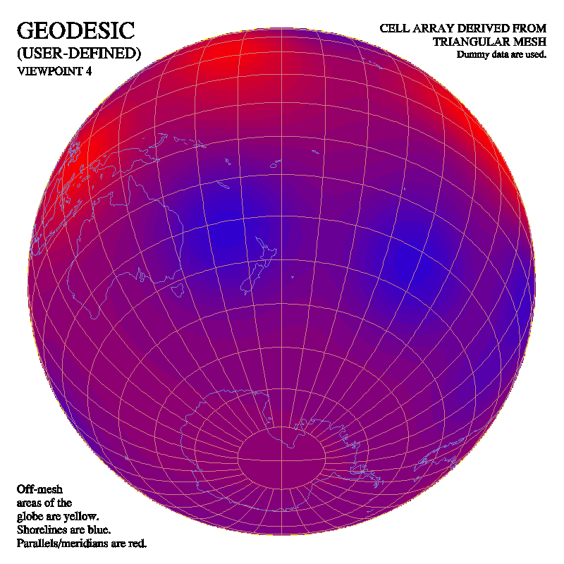
The fourth type of plot shows colored contour bands drawn by CONPACKT from the triangular mesh by using CTCICA to put color indices in a cell array: